South Tenter Street
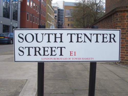
South Tenter Street is the road that runs along the northern edge of the site. This article sets out what we know so far about the street and what we know about the buildings.
South Tenter Street was laid out at some time between 1827 and 1861. It ran along the property boundary between the gardens of the Prescot Street houses and the tenter ground. Both the tenter ground itself and Prescot Street were laid out at around the same moment as part of a Georgian development of the area. South Tenter Street was therefore a new street which ran along the back boundary of the gardens and may have initially been something like a mews road giving access to some sheds or stables at the rear of the Prescot Street properties. It doesn’t seem to have been part of the initial Georgian development as it is not marked on any of the earlier maps.
South Tenter Street first appears in census records in 1861 and is first illustrated on the first edition Ordnance Survey sheet of 1873 marked as simply “Tenter Street”. At around the same time that South Tenter Street was first built, the tenter ground was build over with closely packed workers housing. The 1873 map also shows the extent to which the gardens of the Prescot Street houses have been built over. This is the clearest evidence we have for the declining status of the original Prescot Street buildings.
We don’t know the exact nature of the buildings in South Tenter Street. Two of them were standing until recently and both were typical buildings for mixed use with commercial or retail space on ground and second floor and accommodation above. Writing in the 1890s Booth was of the impression that this part of Tenter Street was not residential. Charles Booth recorded the area as mostly ‘purple’ or ‘pink’ meaning mixed incomes some well off some poor . The houses fronting Prescot street are marked pink indicating:
‘Higher class labour and the best paid of the artisans. Earnings exceed 30s per week. Foremen are included, city warehousemen of the better class and first hand lightermen; they are usually paid for responsibility and are men of good character and much intelligence’
http://booth.lse.ac.uk/
However this doesn’t tie up with the census records which indicate residents in many of the properties. Perhaps the best analysis is that the street was made up of a mix of ad hoc buildings built to accommodate people and their livelihoods. The backfilled pits and other features at the rear of the buildings will give us an insight into their lives.
Census records broadly indicate a mixed immigrant population of people from rural England, Ireland, Russia and Poland. The census information will be researched in more detail as we progress with the project.
In the course of the excavations, we have recorded and removed numbers 4, 6, 8 and 10 South Tenter Street so far. What we know of each building in Tenter Street is set out below. Find out more about the residents of these houses in Lorna’s South Tenter Street through census records article.
2 South Tenter Street
Falls outside of the excavation area so no remains have been excavated.
4 South Tenter Street
No evidence of a basement.
6 South Tenter Street
Building had a basement with a concrete slab. Walls of red brick built on a mixed poor quality foundation. We found burnt material and fused metal suggesting fire damage. Building probably bombed out in WWII. Large drain or soak-away at the rear of this building.
8 South Tenter Street
Building had concrete foundations and had been extended some time in the 20th century. Basement slab cast over earlier probably 19th century features.
10 South Tenter Street
No evidence for basement slab.
· Daniel Paine · Feb 20, 12:11 PM